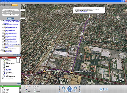
Google's at it again, taking the uber-cool satellite technology they ported over to Google Maps and putting it into a desktop application. And the consumer version of the tool is free. Now, it's purely eye candy (or a good tool to check out the house your boss lives in) but it's still amazing nonetheless.
Google Earth is the manifestation of Google's purchase of Keyhole in 2004. If you remember, Google bought this satellite imaging and database company, which sold several "flavors" of software to enable consumers and businesses to map out information using almost-real-time imagery.
Google Earth has a free version (that is just fine for personal use) as well as Plus and Pro versions that cost $20 and $400, respectively. They also have enterprise versions that probably cost tens of thousands of dollars for companies (like retailers) who use the data to scout out traffic patterns, neighborhoods and potential store locations.
Try it out. It's totally cool. For fun, check out the White House (1600 Pennsylvania Ave, Hoover Dam, the Grand Canyon, the Eiffel Tower and more. This page tells you how to tour these pretty places.
And sorry Mac fans, it's only for PCs right now. No love for you.
-aB
No comments:
Post a Comment